イベント情報
②【GIR公開セミナー】Dr. Roy C. Sidle / 中央アジア大学 (キルギス)
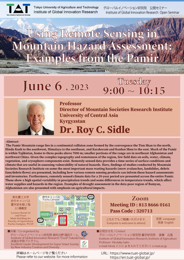
| 日時 | 2023.6.6(9:00~10:15) |
|---|---|
| 会場 |
ミーティングID:813 8666 0161 パスコード:320713 |
| Google Classroom コード | edtu3pm |
| 講演者 | Dr. Roy C. Sidle |
| 所属機関 | 中央アジア大学 (キルギス) |
| 講演タイトル | "Using Remote Sensing in Mountain Hazard Assessment: Examples from the Pamir" <要旨> The Pamir Mountain range lies in a continental collision zone formed by the convergence the Tien Shan to the north, Hindu Kush to the southwest, Himalaya to the southeast, and Karakoram and Kunlun Shen to the east. Much of the Pamir is within Tajikistan, home to three peaks above 7000 m; smaller portions of the range are in northeast Afghanistan and northwest China. Given the complex topography and remoteness of the region, few field data on soils, water, climate, vegetation, and cryosphere components exist. Remotely sensed data provides a time-series of surface conditions and climate that are useful in assessing vulnerability of natural hazards. Here, findings of studies conducted by Mountain Societies Research Institute on some the most important mass wasting hazards (snow avalanches, landslides, debris fans/debris flows) are presented, including how various remote sensing products can inform these hazard assessments and inventories. Furthermore, remotely sensed climate data for a 20-year period are presented across the entire Pamir. These show a high spatial variability in precipitation trends and some differences in temperature trends, which affect water supplies and hazards in the region. Examples of drought assessment in the data-poor region of Bamyan, Afghanistan are also presented with emphasis on agricultural impacts. |
| 言語 | 英語 |
| 対象 | どなたでも、ご参加いただけます。 |
| 共催 | グローバルイノベーション研究院 食料分野 福田チーム 卓越大学院プログラム |
| お問い合わせ窓口 | グローバルイノベーション研究院・農学研究院 斎藤 広隆 e-mail: hiros(ここに@ を入れてください) cc.tuat.ac.jp |
| 備考 | 本セミナーは、オンライン・対面型の同時開催となります。 |
このページの上部へ